Log in
All resources
Create a design
11,660 Free Images of Old Map
pictorial maps
old manuscript maps
spanish-language maps
1632 maps
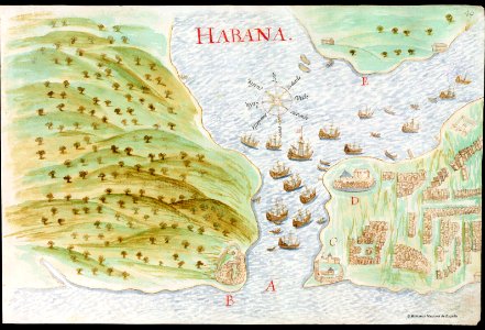
en especial del descubrimiento del reino de la california
descripciones geográphicas e hydrográphicas de muchas tierras y mares del norte y sur en las indias
maps by nicolás de cardona
watercolor maps
maps made in the 17th century
maps by pieter schenk (i)
description des principales villes (1690)
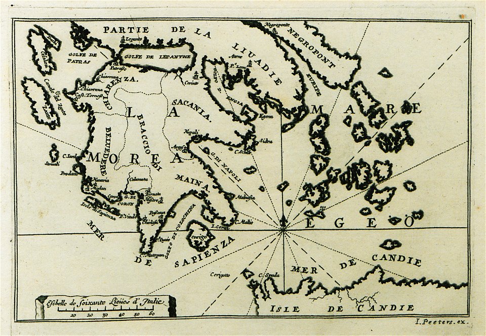
old maps of greece
watermills in leipzig
1650 in leipzig
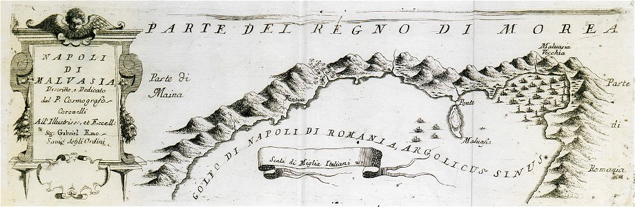
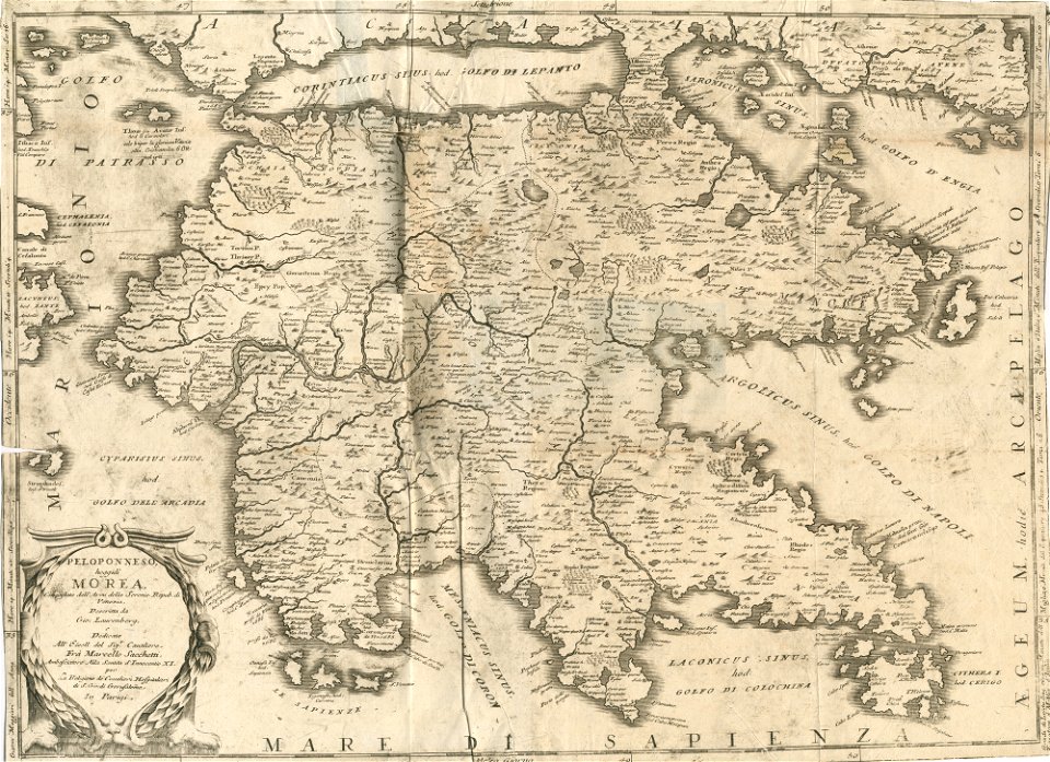
geographical illustrations by coronelli
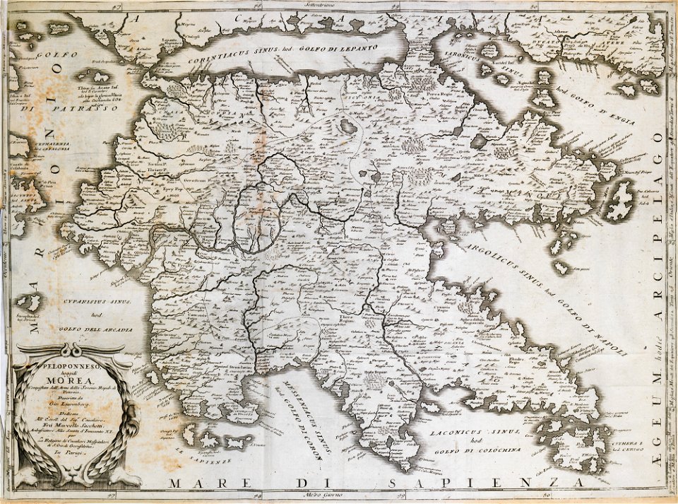
old maps of the peloponnese
geographical illustrations by coronelli
old maps of the peloponnese
university of toronto wenceslas hollar digital collection
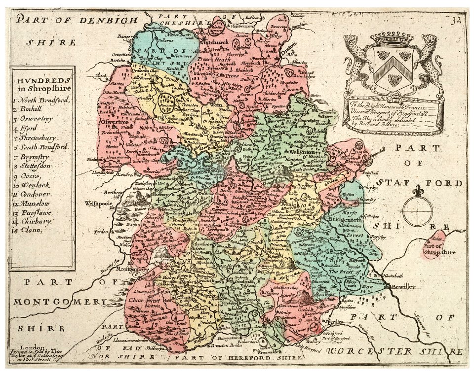
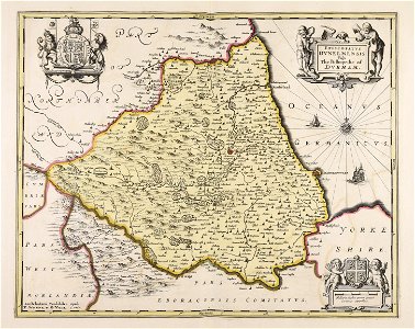
old county maps of shropshire
old maps of île de la cité
île de la cité in art
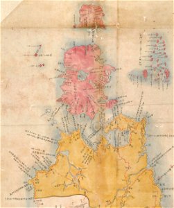
maps of the kuril islands
shōhō kuniezu
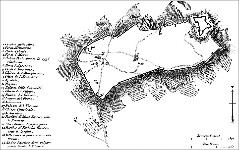
maps of archaeological sites in italy
history of cortona
atlas de wit 1698
frederick de wit
maps with cartouches
atlas van der hagen
maps with cartouches
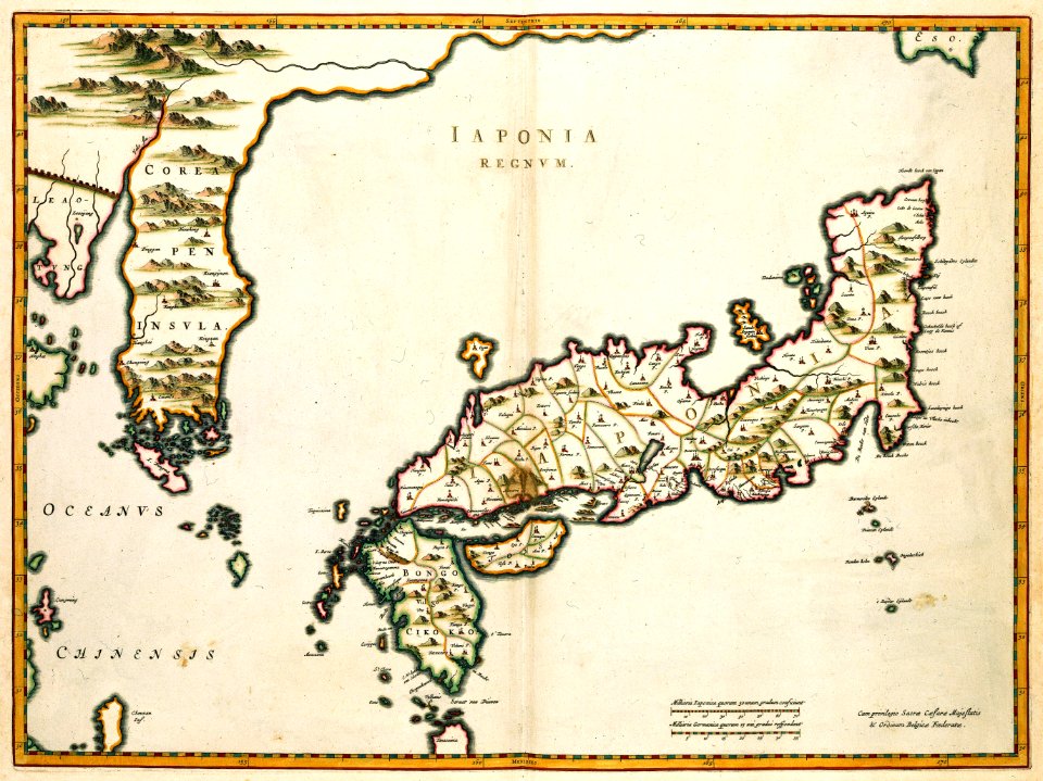
old maps of japan
maps with cartouches
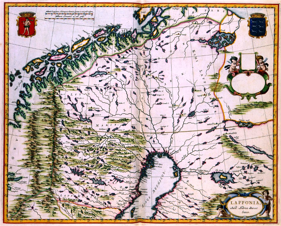
finland
pictorial history of the russian war 1854-5-6 by george dodd
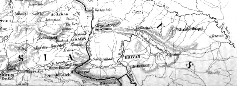
old maps of armenia
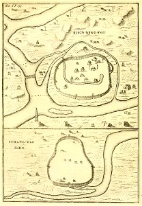
old maps of china
bodleian library
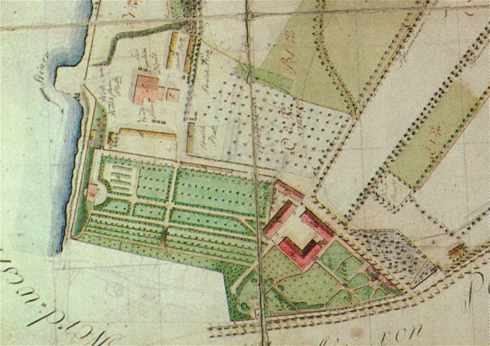
pleasureground (klein-glienicke)
parts of old maps of berlin
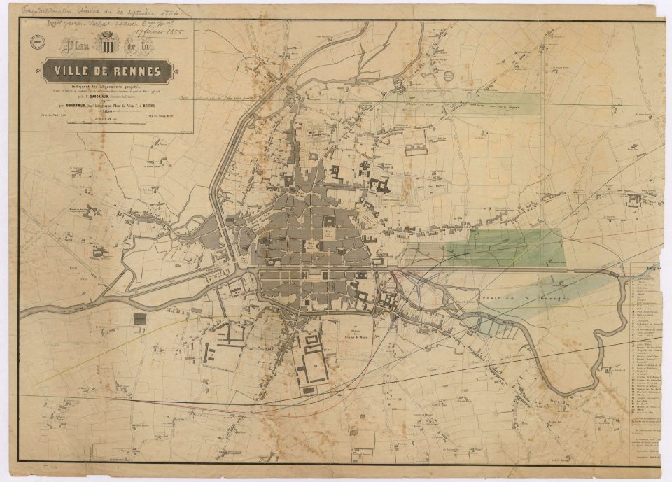
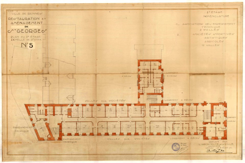
old maps of rennes
gare de rennes
old maps of rennes
1922 maps
prints from manesson travaux de mars at the peace palace library
regular hexagons
atlantis magni tomus tertius (biblioteca comunale di trento)
maps made in the 17th century
prints from manesson travaux de mars at the peace palace library
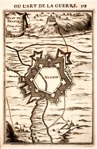
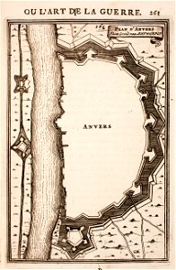
fortifications in france
atlantis magni tomus secundus (biblioteca comunale di trento)
maps made in the 17th century
1780 maps of eritrea
1780 maps of egypt
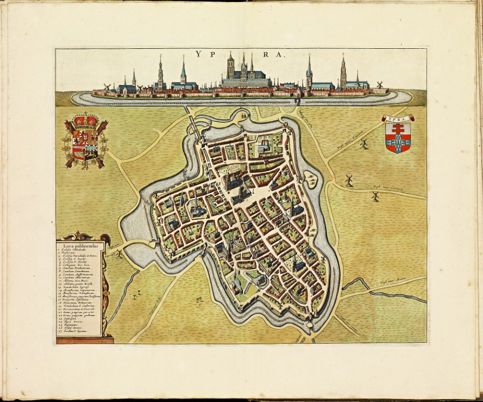
theatrum urbium (1610)
old maps of rouen
art works by daniel meisner
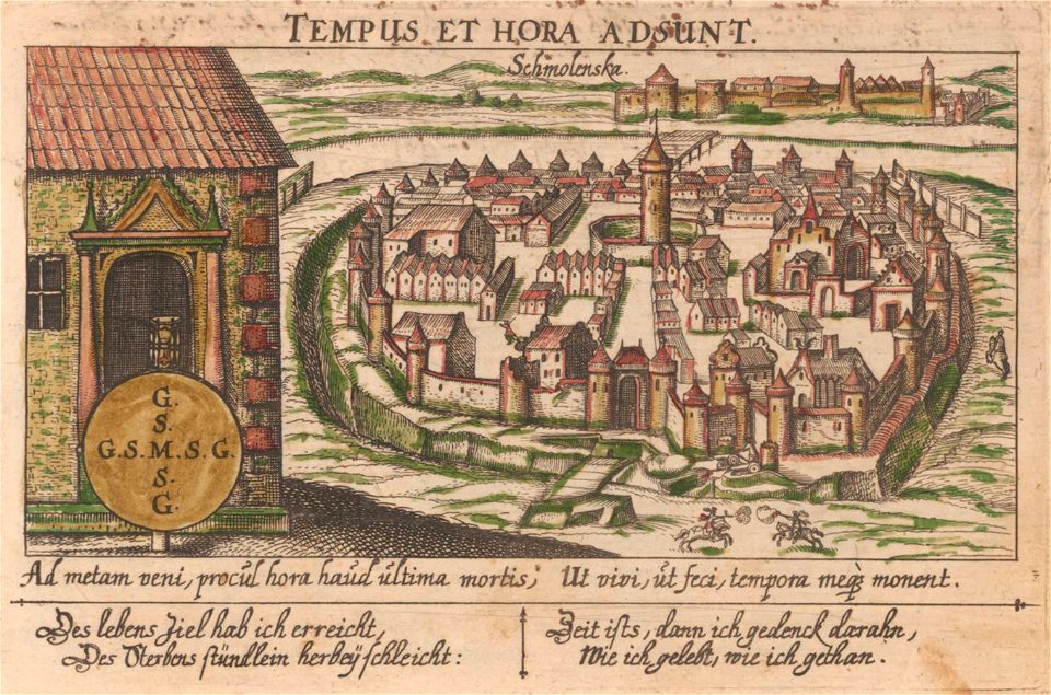
old maps of smolensk
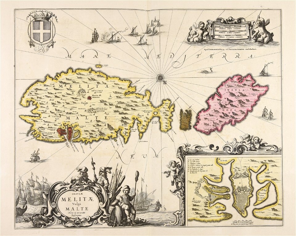
liber insularum archipelagi (royal museums greenwich)
old maps of constantinople
geographical illustrations by coronelli
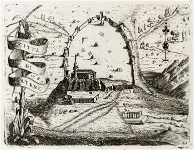
old maps of athens
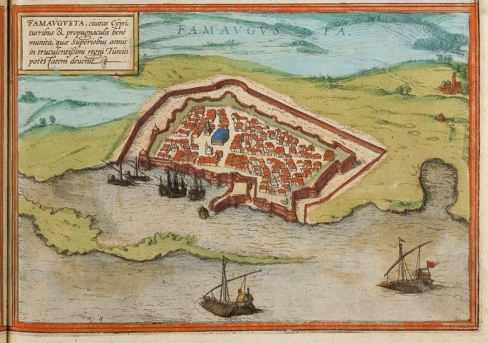
old maps of cyprus
braun & hogenberg
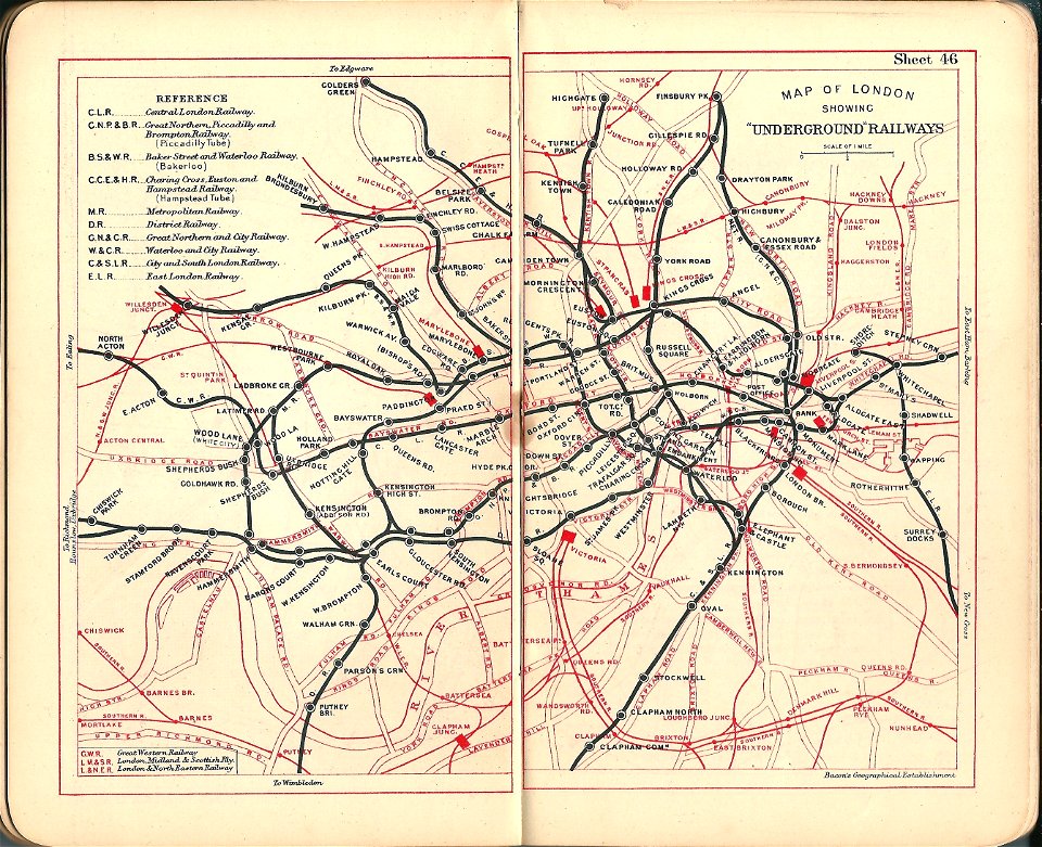
old maps of the london underground
bacon's pocket atlas of london
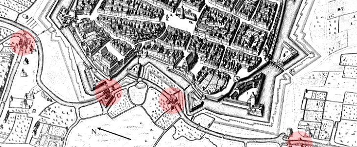
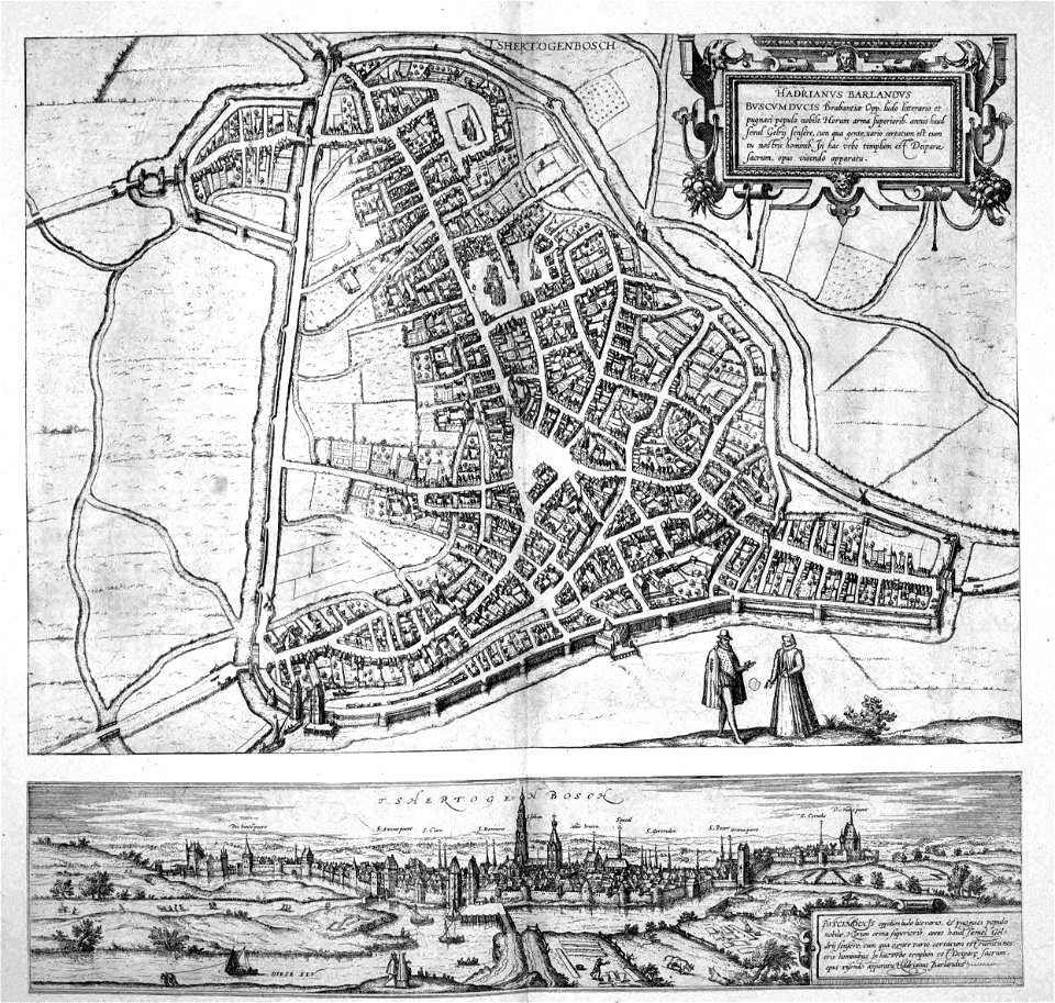
old maps of 's-hertogenbosch
atlas beudeker
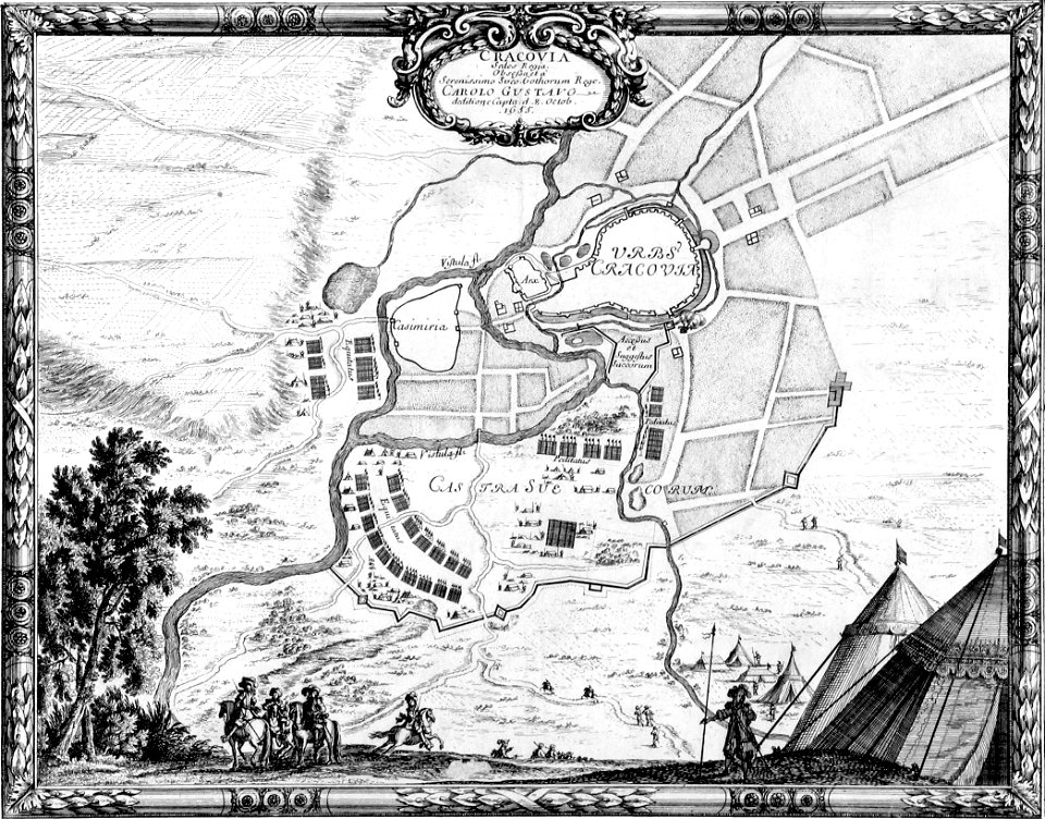
old maps of kraków
erik dahlbergh
amsterdam in the 1680s
old maps of amsterdam
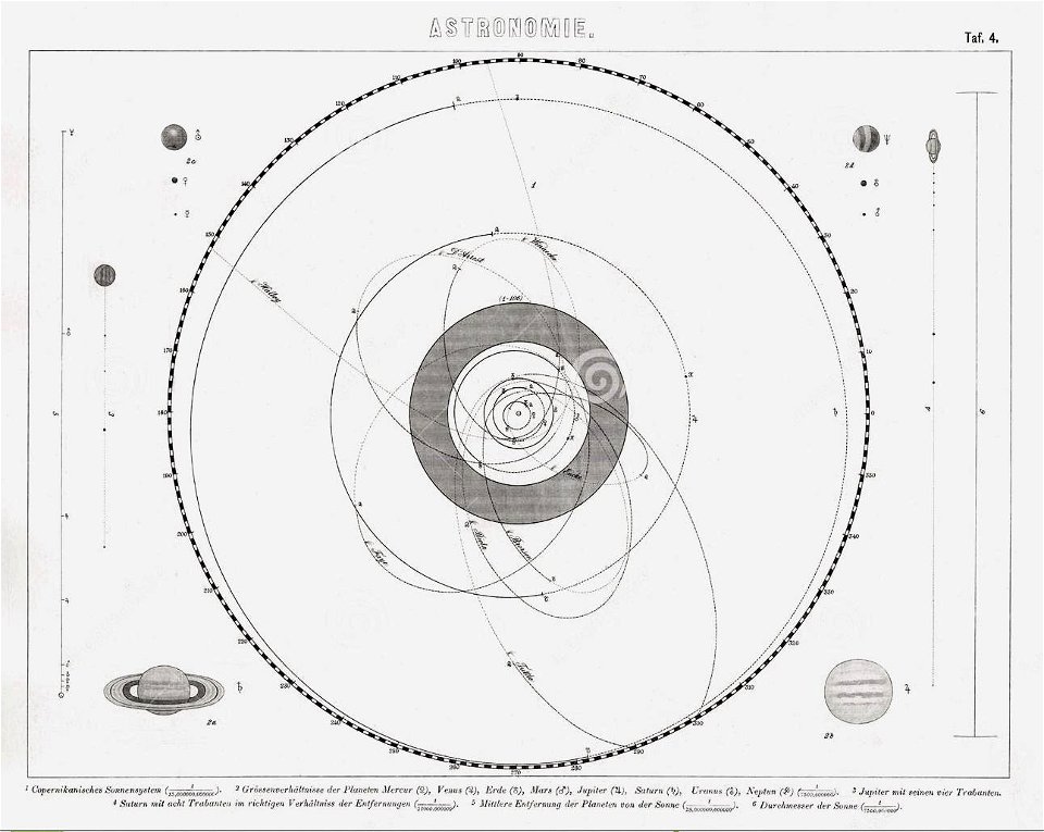
old celestial maps
geographical illustrations by coronelli
old maps of the peloponnese
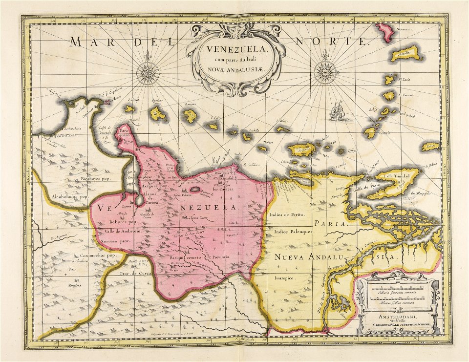
old maps of venezuela
gerard valck
maps made in the 18th century
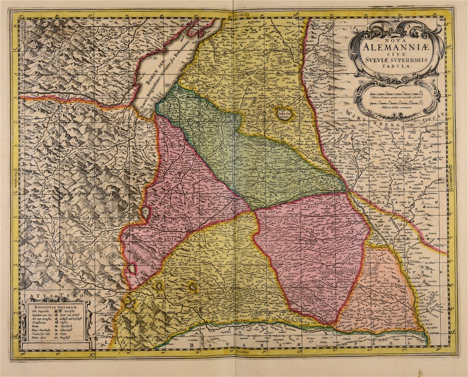
old maps of saxony
maps made in the 18th century
old maps of flanders
maps in the library of congress
1720 maps
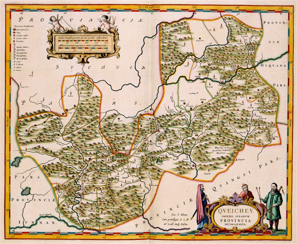
17th-century maps of china
guizhou
maps in the library of congress
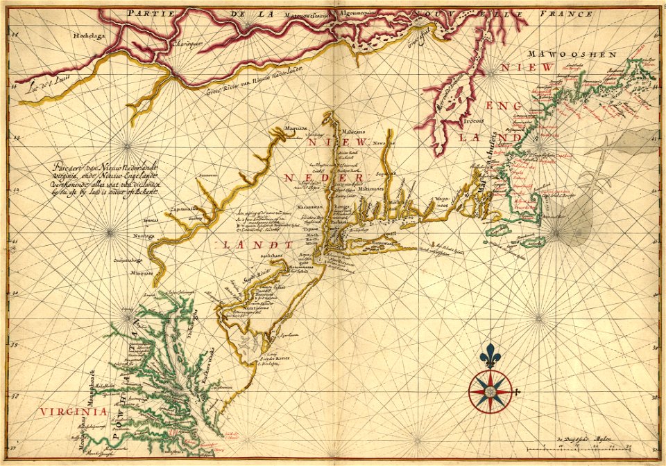
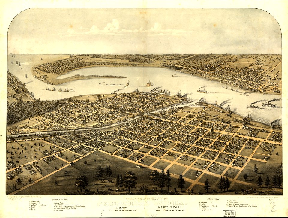
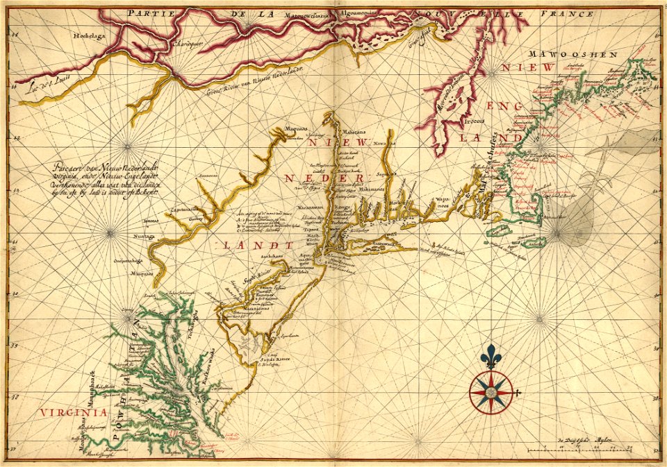
old maps of new england
fonds ancely - bibliothèque municipale de toulouse - maps
frédéric-auguste laguillermie
fonds ancely - bibliothèque municipale de toulouse - maps
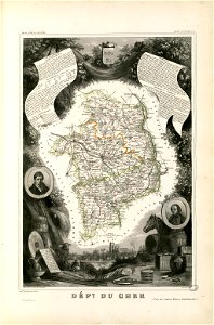
coats of arms of cities in cher
fonds ancely - bibliothèque municipale de toulouse - maps
jean bart
maps with cartouches
atlas van der hagen
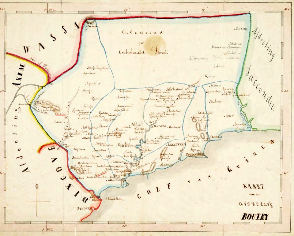
old maps of the dutch gold coast
1859 maps
alfred johannot
bridge of arts
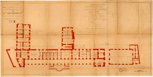
old maps of rennes
1922 maps
old maps of rennes
1922 maps
atlantis magni tomus primus (biblioteca comunale di trento)
maps made in the 17th century
coats of arms on maps
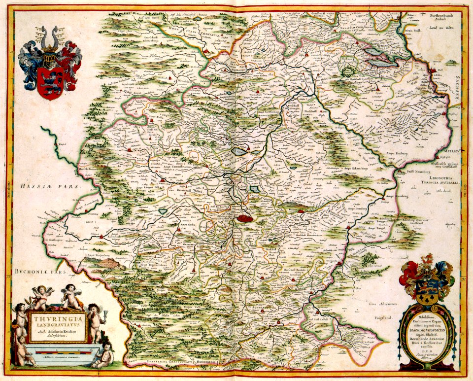
thüringiae
prints from manesson travaux de mars at the peace palace library
fortifications in belgium
atlantis magni tomus tertius (biblioteca comunale di trento)
maps made in the 17th century
old maps of tunisia
bodleian library
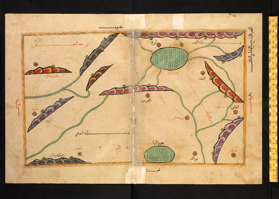
old maps of turkestan
bodleian library
old maps of turkestan
bodleian library
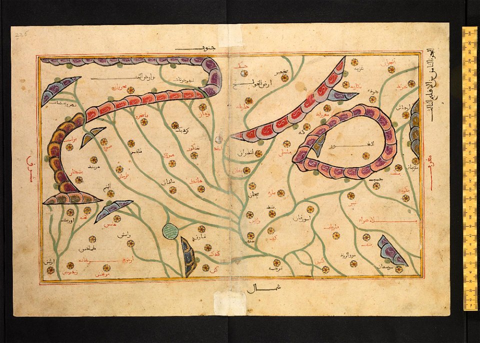
arabic-language manuscripts
bodleian library
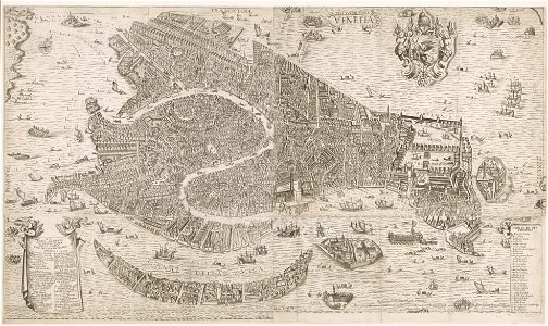
old maps of venice
stefano scolari
engravings after peter paul rubens
harvard university
maps made in the 17th century
jan janssonius
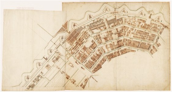
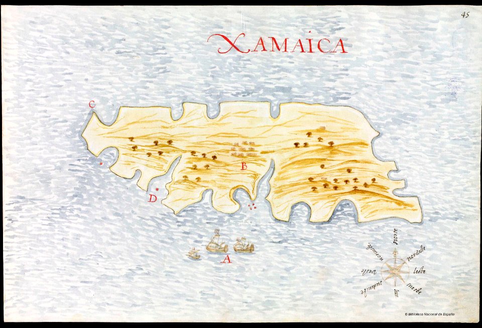
old manuscript maps
pictorial maps
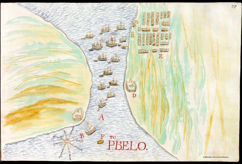
old manuscript maps
pictorial maps
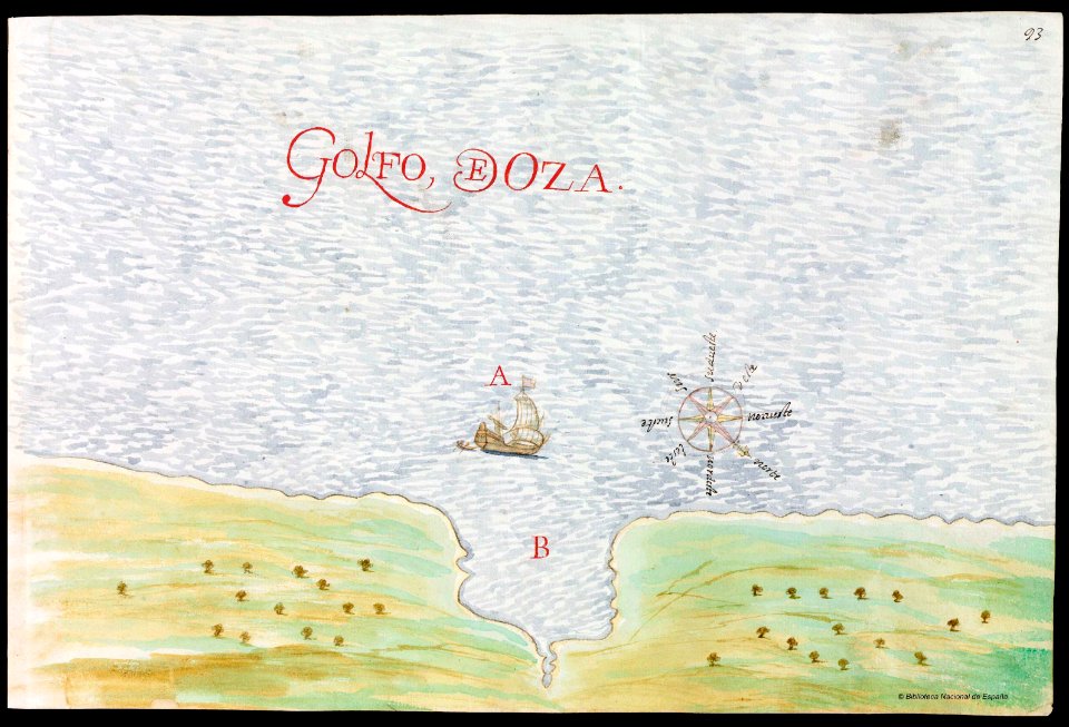
old manuscript maps
pictorial maps
old manuscript maps
pictorial maps
old manuscript maps
pictorial maps
latin-language maps
1725 maps
maps made in the 17th century
gerard valck
double hemisphere world maps
old maps of the world
maps made in the 17th century
gerard valck
french-language maps of china
old maps of fujian
maps made in the 17th century
gerard valck
maps in the library of congress
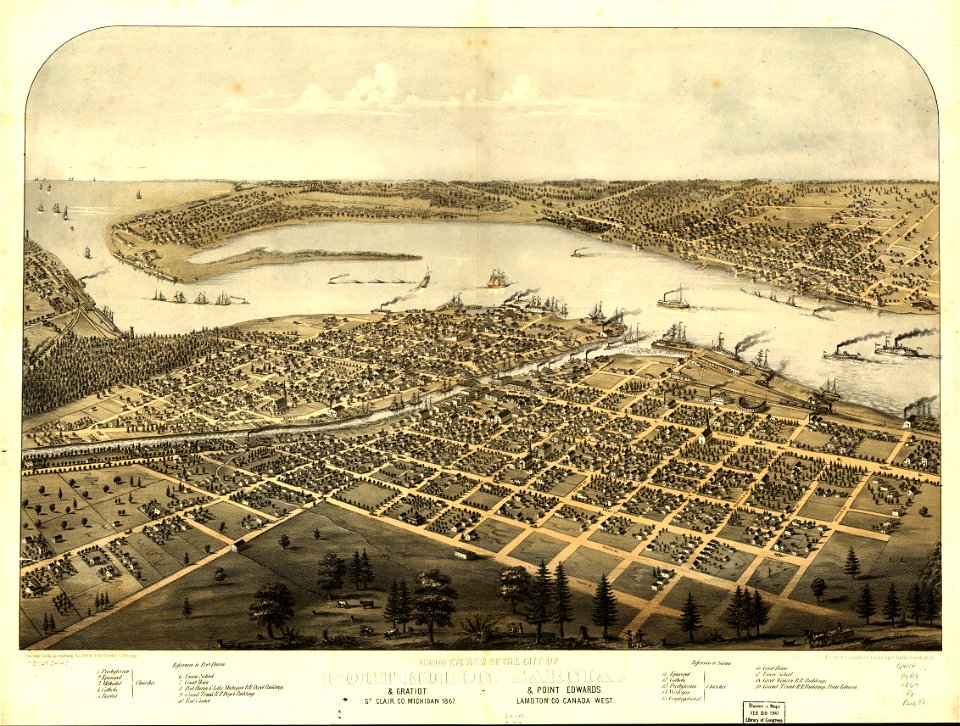
1867 maps
earth
maps
earth
maps
old manuscript maps
pictorial maps
old manuscript maps
pictorial maps
old manuscript maps
pictorial maps
old manuscript maps
pictorial maps
old manuscript maps
pictorial maps
maps from the mechanical curator collection
old maps of prussia
maps in the library of congress
1720 maps
maps in the library of congress
old maps of new england
maps made in the 17th century
gerard valck
maps in the library of congress
1867 maps
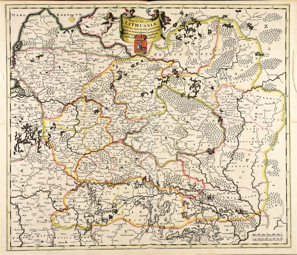
old maps of the grand duchy of lithuania
maps made in the 17th century
maps made in the 17th century
gerard valck
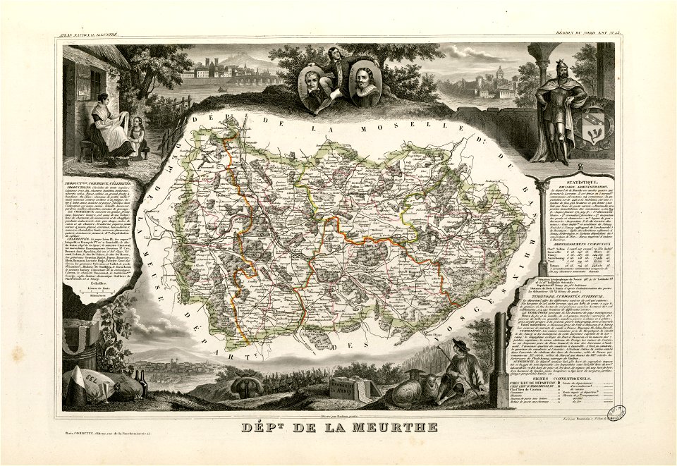
fonds ancely - bibliothèque municipale de toulouse - maps
coats of arms in nancy
maps by nicolaes visscher i
old maps of greece
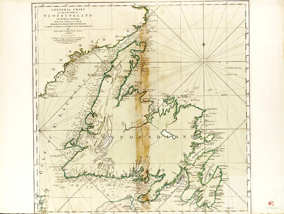
charts and maps of the royal museums greenwich
james cook (maps relating to)
old maps of the danube
french-language maps
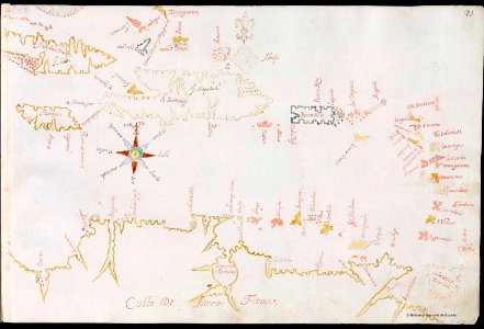
old manuscript maps
pictorial maps
old manuscript maps
pictorial maps
old manuscript maps
pictorial maps
old manuscript maps
pictorial maps
old manuscript maps
pictorial maps
old manuscript maps
pictorial maps
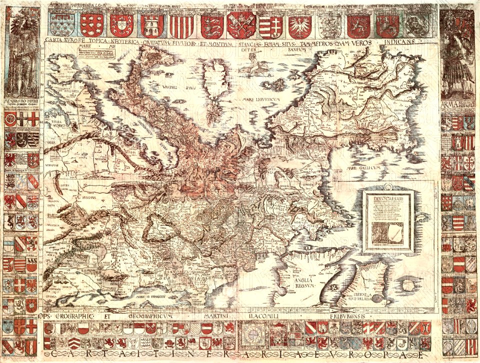
coats of arms of galicia (spain)
holy roman empire
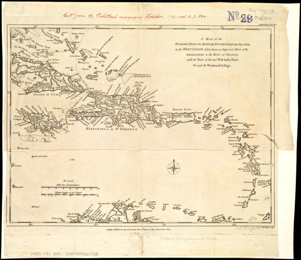
18th-century maps of hispaniola
1780s maps of the caribbean
old manuscript maps
pictorial maps
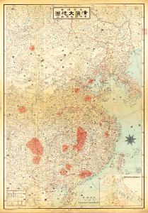
old maps of taiwan
chinese writing
maps made in the 18th century
gerard valck
university of toronto wenceslas hollar digital collection
old county maps of sussex
3201 - 3300 of 11,660
Next page
/ 117